
Cart
0
Marine Navigation
-

-

-

-

-

-

-

-

-

-

-

-
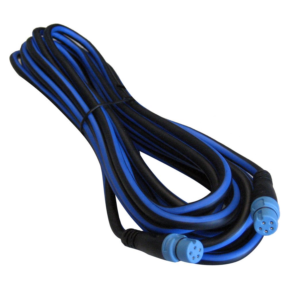
 Regular price $47.20New Standard Horizon Electronics Parts & Accessories Ct100 Extension Cable Boating AccessoriesAdd to Cart
 -

-

-

-

-

-

-

-
 Regular price $165.86Garmin Bluechart G2 Southeast Caribbean Saltwater Map Microsd Card Garmin
$236.94Sale priceSold Out


Frequently Asked Questions
What types of marine navigation equipment do you carry?
We offer a variety of marine navigation equipment, including GPS devices, handheld compasses, chart plotters, and nautical charts. Our selection features top brands like Garmin, Raymarine, and Lowrance.
How do I choose the right GPS system for my boat?
When selecting a GPS system, consider factors such as screen size, battery life, water resistance, and additional features like chart compatibility. Assess your boating needs to find the best fit.
Are your navigation tools compliant with safety standards?
Yes, all our marine navigation tools meet U.S. Coast Guard safety standards and are designed for reliability and performance on the water.
What is the price range for marine navigation equipment?
Our marine navigation equipment ranges from portable GPS units starting around $100 to advanced chart plotters priced over $1,500, catering to various budgets and needs.
Can I find nautical charts in your collection?
Yes, we offer a selection of nautical charts that are essential for safe navigation. These charts are available in both paper and electronic formats.
What are the benefits of using a marine chart plotter?
Marine chart plotters provide real-time navigation, integrating GPS data with detailed maps. They are essential for planning routes, avoiding hazards, and enhancing overall navigation efficiency.
Is there a warranty on your marine navigation products?
Many of our marine navigation products come with manufacturer warranties, typically ranging from one to three years, depending on the brand and product type.
How can I maintain my marine navigation equipment?
To maintain your marine navigation equipment, keep it clean, protect it from extreme weather conditions, and regularly update software and maps if applicable.